Wynkoop in LoDo and 21st Street in Arapahoe Square are very different urban streets. Wynkoop is resplendent with Victorian-era brick warehouses, strong urban form, an attractively streetscaped public realm, and civic icons like Denver Union Station. 21st Street? Surface parking lots and a largely incoherent urban form are the street’s defining characteristics. However, Wynkoop and 21st Street actually have an important attribute in common: neither are through-streets that provide vehicular connectivity beyond their extents, as both streets are capped at both ends by landmarks. Wynkoop terminates at Cherry Creek on one end and at Ballpark Plaza on the other. Similarly, 21st Street stops at Coors Field on one end and at Benedict Fountain Park at the other. This situation makes Wynkoop and 21st Street excellent candidates to be transformed into high quality bike/ped streets while still providing modest vehicular access.
Diagram courtesy City and County of Denver.
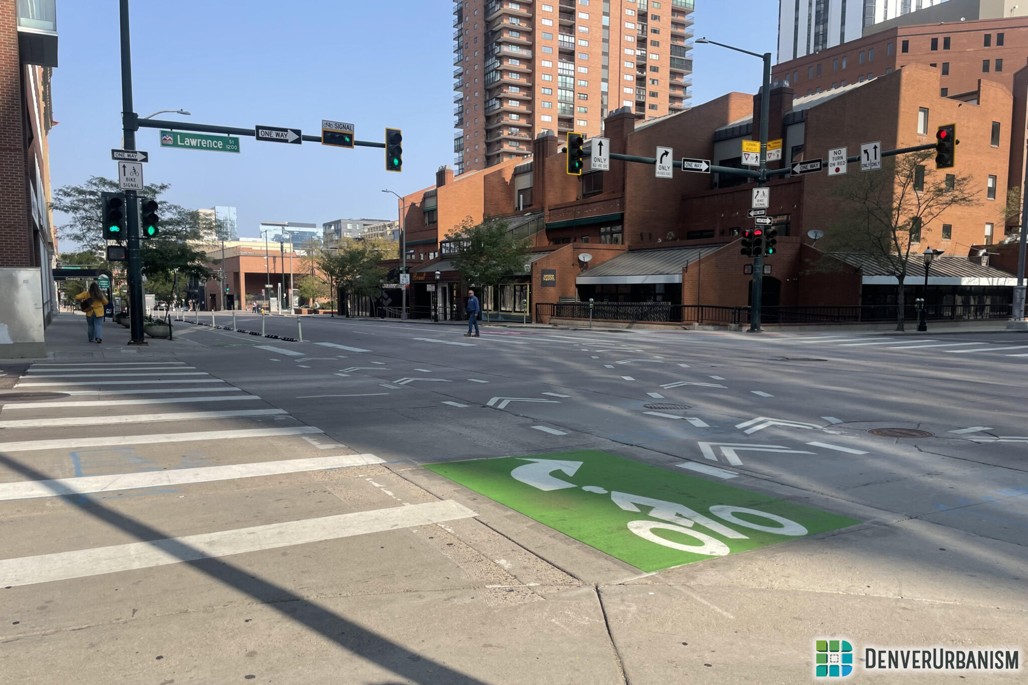
Last night I and about 100 others attended a public meeting held by Denver Community Planning and Development and their planning consultant AECOM to review preliminary plans for such a transformation. Some of the big ideas include a two-block park within the 21st Street right-of-way near Larimer, converting Wynkoop in front of Union Station into essentially an extension of Wynkoop Plaza, creating a signature bike trail along both streets that could form the start of a bigger downtown loop, and reconfiguring the Broadway/21st Street intersection to provide a major mid-block bike/ped crossing of Broadway.
For more information, check out the city’s webpage on the project, and definitely check out David’s excellent overview at Streetsblog Denver.


I am enjoying the conceptual design pdf that shows the amazing possibility of the two streets. I just worry about the amount of dogs that will be walked on the common areas.
Yes, yes, yes!!!! This is exactly what this part of town needs. If this comes to fruition, I hope there are plans to expand City Trail, or whatever its going to be called, to other parts of the city.
What do neighbors around the stretch proposed as a park have to say, about it becoming a magnet for the many homeless living in the area? Will people avoid a 21st Street park, as dangerous? What does DPD advise?
Sorry to be so down-beat, because the ped-bike plans look very promising, to transform the neighborhood, as more and more housing and street-level retail replace parking lots along 21st Street. But the City has already tacitly agreed to hundreds of homeless beds in shelters clustered in Arapahoe Square, so those permanent homeless residents are a guaranteed future part of this neighborhood.
That’s why it looks foolish to me to establish an unavoidable Needle Park for addicts and winos, while developers slowly build a mass of housing units to eventually out-number the unemployed homeless, who have lots of time on their hands. Am I too cynical here? Please convince me I’m wrong. Or is Denver headed for an urban future not so different from Manhattan, and every other major city, where outcasts and aristocrats co-mingle on the sidewalks?
Ken, If I remember right you talked about the parking lot next to Coors Field. Any chance that with this project a developer would create a mixed-use building there? Couldn’t they add more parking with a building than what is there now?
My understanding is that a project on that lot is in the works.
While these changes will be a great benefit to the area, I am disappointed that there is no significant catalyst project planned along 21st St for the upper (SE) portion of Arapahoe Square. The ’21st St Park’ was placed in the Ballpark end of 21st St because the need there was greater since there is supposedly already a park at the corner of 20th and Curtis. That green space is walled off and gated and so looks more like private, and not public, green space. Something significant needs to happen in the other of Arapahoe Sq. in order to jumpstart the infill process; something that is already happening rapidly in the Ballpark district. Put a grand square in Arapahoe Square!
I do wonder with a park in 21st St, how do we avoid the same path as with Triangle Park? That space, as well as Park Ave between Market and Arapahoe St have become a mess with homeless tents and garbage all over the place despite the Lawrence Center opening to host homeless during the day. Triangle park is now fenced off but it seems that creating another park 2 blocks away will require some good strategies to avoid ending up with another fenced off public space in the future
I love the idea of more focus on pedestrian and bike spaces
People living outside are a fact of life. So should garbage cleanup.