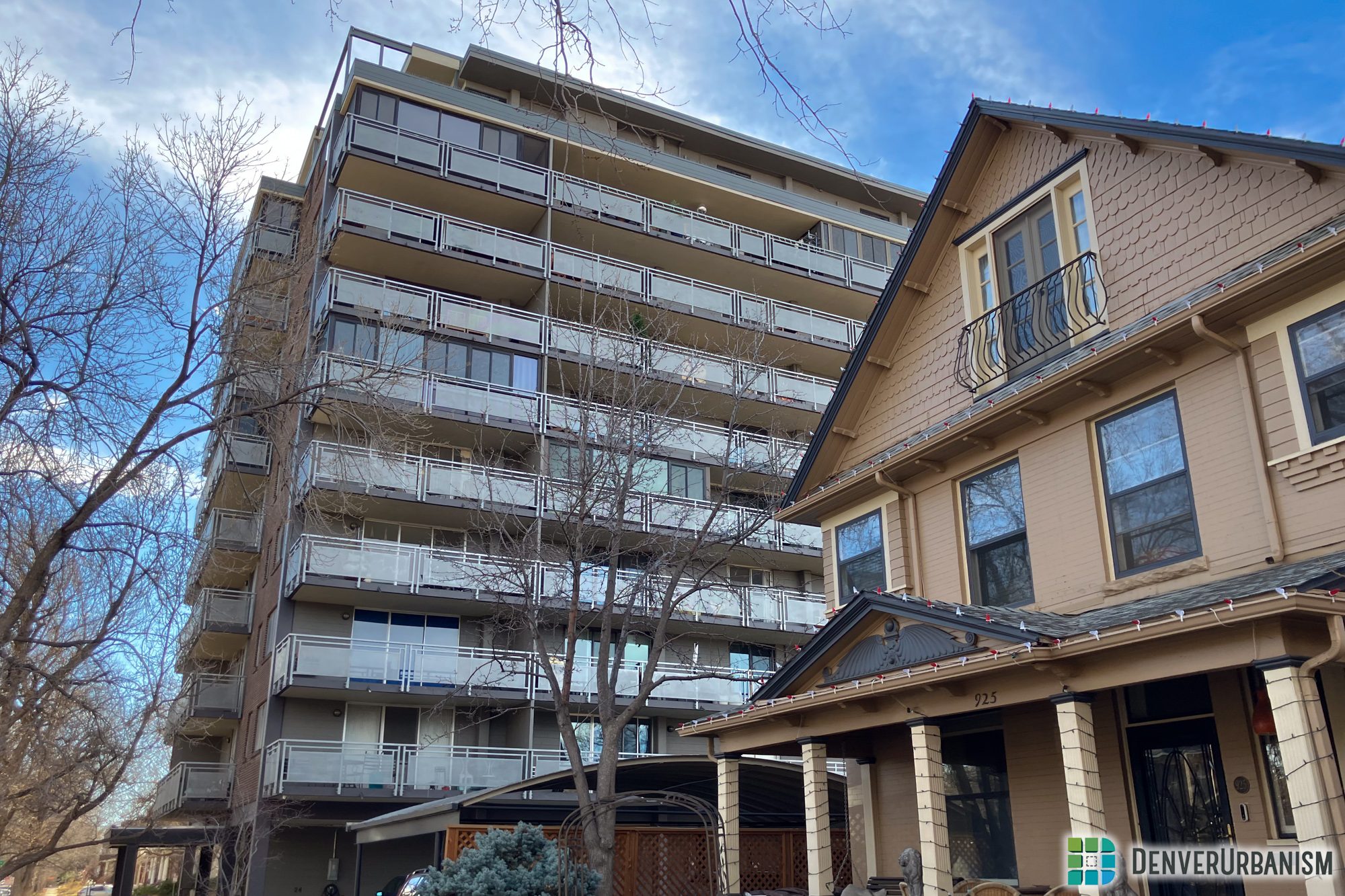
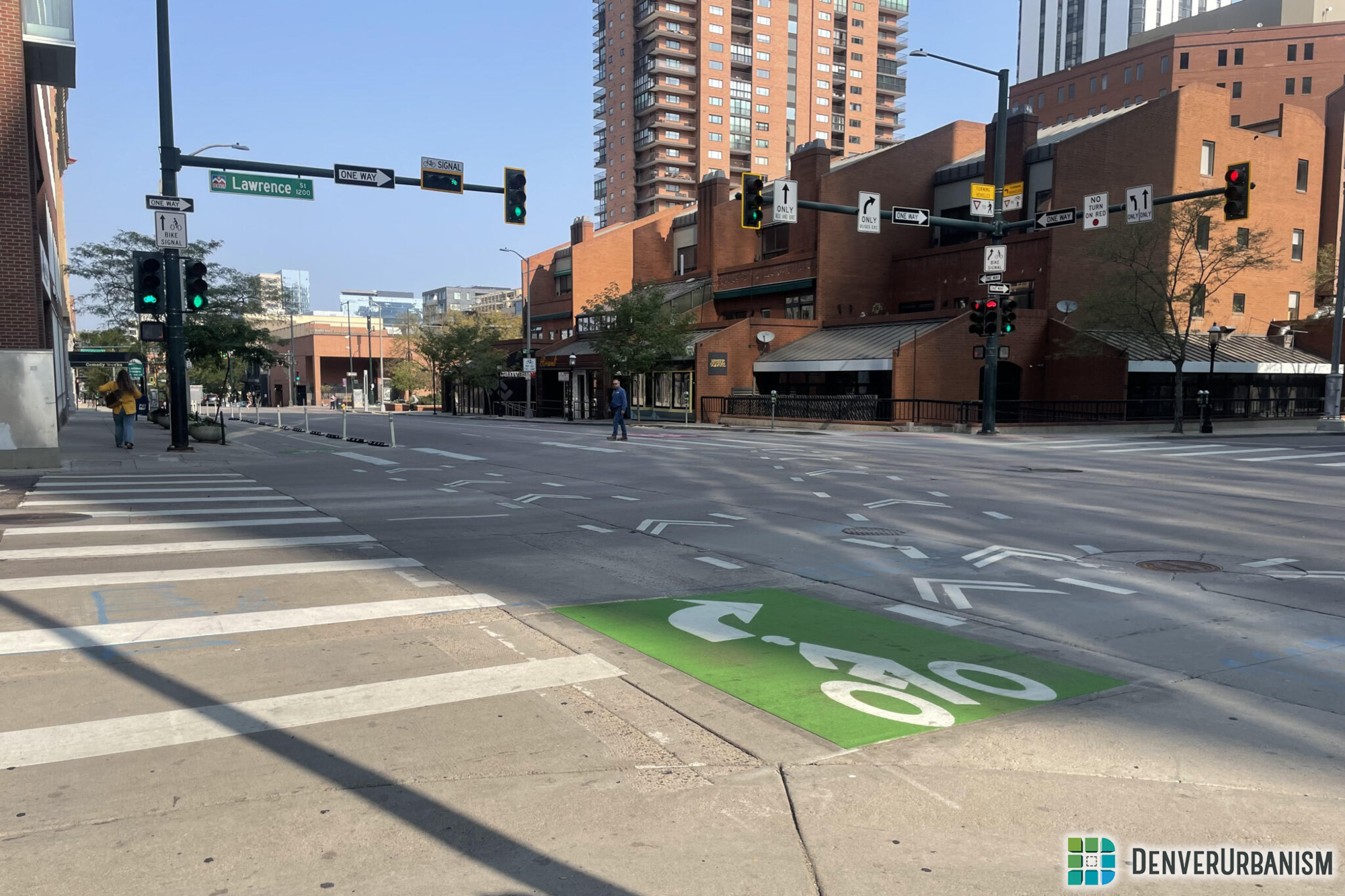
In a grid city as orderly and well-behaved as Denver, non-orthogonal streets like Speer Boulevard, Park Avenue, Morrison Road, and Leetsdale Drive stick out from the rest. You might say that they are the street grid’s problem children, resulting from the shotgun marriage of Denver’s 19th century prairie settlement with 20th century automobile development. Some were created for the purpose of a urban beautification; others tackle practical flood control and have been expanded over the years to suit traffic engineers. But all these non-orthogonal streets create problems for Denverites just trying to move through and to places in the city. Even otherwise orthogonal streets clash when meeting at the intersections of Downtown’s grid with the rest of the city—see Welton Street, Downing Street, and Broadway north of Colfax Avenue.
When two grid streets meet, they form a four-way intersection made up of right angles: drivers can either turn right, left, or continue straight. Pedestrians can cross in either direction of either street, and at the intersection of local streets, the size of the intersection is relatively compact and easy to cross. Take for instance the intersection of Franklin and 7th Avenue, two neighborhood streets. Measuring the area boxed out by all curb ramps, the intersection only takes up 4,200 square feet, about the same footprint as the adjacent homes. Drivers approach the intersection in predictable fashion, at safe speed, and experience low-stress. Pedestrians know what to look for when crossing the street and rarely have to wait a long time to cross. Traffic control is simple—either a two- or four-way stop with stop signs. Very few crashes and property damage should be expected to take place at these regular intersections of local streets in the grid. The same cannot be said for our problem children of the street grid.
Denver’s non-orthogonal streets frustrate drivers, pedestrians, cyclists, developers, and city planners. (Non-orthogonal is getting annoying to read/type; let’s call them “NoNo” streets for short.) The urban form along NoNo streets is characterized by irregular intersections of the grid and the NoNo street which result in novel intersection configurations, awful ped/bike crossing conditions, irregular parcels of developable land, and general headache. Buildings along the NoNo streets have small or non-existent frontage, tending to treat this exposed sliver as the backside of the building. NoNo streets are disproportionately represented on the high-injury network, with a speed limit higher than Denver’s citywide limit of 20 mph. Additionally, NoNo streets often link suburban Denver to Downtown, and operate as one-way streets, facilitating speeding, road rage, and high-speed vehicle crashes.
Along the west side of the Golden Triangle, Speer Boulevard slices against the regular street grid at such an angle as to produce little fragments of land between N-S and E-W streets, just north of the roadway of Speer Boulevard. Think of the intersection of 14th and Speer. What’s that tree doing in between Galapago Street and Speer Boulevard? And again at Colfax Avenue and Speer? Just barely separated from the mainland Golden Triangle these remnant triangles for years have lingered, offering shade only to roadways, neighboring only slip lanes, useless and uninteresting to passersby. The city knows they exist, courtesy of the NoNo Streets traffic engineering needs. But the neighborhood wants more from them. Right now they just dangle on the edge of the neighborhood, calming no traffic, adding very little green space to Denver’s soon-to-be-densest tract of Downtown. That’s the status quo.
Two DOTI projects are seeking feedback right now that relate to these undervalued Speer Triangles. The first project seeks to add a traffic signal and green infrastructure to the intersection of Speer, Elati, and 12th Avenue. In order to get green infrastructure, they want to close either Elati Street or 12th Avenue to through traffic, or close both. By accommodating fewer vehicle movements at this intersection and governing those movements with a traffic signal, they simplify the crossing of the intersection and make all modes of travel safer, an obvious success. At the moment, vehicles driving along Speer back up all the way from the traffic signal at 13th Avenue past 12th Avenue, which means that vehicles looking to turn right from 12th Avenue onto Speer have a pretty awful time doing so. Additionally, pedestrians and cyclists are, in the words of one community member, “playing Frogger,” every time they want to get to the Cherry Creek Trail, which has an access point directly across Speer Boulevard from this intersection. As I ran up Speer Boulevard last week, I watched cars dangerously veer off of Speer and onto Elati in an effort to get around backed-up traffic, and watched a family with a stroller negotiating, car by car, four lanes of clogged traffic to get over to the Cherry Creek Trail.
Three designs have been circulated for the community to consider.
1) close 12th Avenue and convert the Speer Boulevard crossing into a toucan crossing
2) close Elati Street to through traffic and parking, but still allow emergency vehicle access, or
3) close both streets, with the emergency vehicle caveat.
I am in favor of the design which leaves Elati Street open for vehicle access into the neighborhood off of Spear Boulevard, but closes 12th Avenue to vehicle traffic. Realistically, both proposals that would “close” Elati Street don’t actually close the street. Emergency vehicle access will need to be maintained and no permeable pavers, placemaking elements, or green infrastructure is funded for what Elati roadway would remain. (Trust us, we asked.) Additionally, there is more square footage eligible for conversion to green infrastructure by closing 12th Ave than can be converted with a change to Elati. Regardless of which street closes, a signal is going in at 12th Avenue to get non-motorized vehicles into the Cherry Creek Trail; if we get rid of motor vehicles along this vestigial stretch of 12th, we reduce the amount of signal time required per cycle to cross Speer and reduce conflicts between trail users and cars. Plus, look at the rendering. Wouldn’t you rather wait to cross in a closed-12th Avenue condition than on a boring strip of asphalt and sidewalk?
The second project relates to an urban trail long in planning, but hopefully closer to construction than many think. The 5280 Trail is being constructed in fits and starts, but starting in particular along Acoma Street in the Golden Triangle. From the end of the current project at 10th and Acoma, the 5280 Trail has been mapped crossing Speer Blvd along 9th Avenue, then entering Sunken Gardens Park and Denver’s Westside at 9th Ave. However, there are several community voices in the Golden Triangle who care to debate the best place to cross Speer Boulevard for the Trail. I do not have a strong opinion on this and generally value the quickest build out of the Trail over 50-million-dollar ideas. However, at a recent presentation for stakeholders on the three scenarios for crossing Speer Boulevard, one highly regarded option was to re-utilize the Speer Triangles at 10th Ave order to create a new at-grade crossing of this NoNo Street and construct a new entry from the neighborhood into Sunken Gardens Park. And the reason this is possible? Two Speer Triangles owned by the city are sitting, underused and under-activated, right where Cherokee Street intersects with the grid.
Obviously, clearly, understandably, the most likely scenario is to build the 5280 Trail along 9th Avenue to connect Sunken Gardens and the Golden Triangle. But the common heritage of these two projects is that black sheep of public right-of-way, the awkward sibling to the Cherry Creek, Speer Boulevard. Both projects are being presented to the public this Thursday evening, February 13th, from 4:30 to 7:00pm at the Evans School at 1115 Acoma Street. While the neighborhood plan from 2014 specifically calls out these Speer Triangles as an opportunity to reclaim public right-of-way for green space, community gathering spaces, and plazas, it’s not a “done” conversation. Some folks (including city staff) don’t put much stock in the 2014 neighborhood plan, and there are literally thousands of new residents of the Golden Triangle who did not participate in the neighborhood planning process in 2014 as their homes had not yet been built! If you are one of those residents, this is your moment to start shaping your new neighborhood’s future.
If you are not able to make the open house, there are still opportunities this year to make your voice heard. There is a survey regarding the signal at 12th and Elati above—take it by February 17th. The Downtown Area Plan is currently being drafted, and important mobility and place-making ideas are maturing into recommendations as you read this. Transforming NoNo streets into people-centered places rather than car-addled interlopers requires work! So get involved; the next generation of streets needs aspirations and new role models. The old system of dangerous streets and unfriendly intersections just won’t do anymore.


This is great, now would love to see bike infrastructure improved at the bridge at 9th and over to the ramp down to cherry creek trail. Coming from Sunken Gardens, that’s the worst spot. Widening the Speer sidewalk to a real multi-use trail would be great and then might also have to take a lane from 9th.
I am a volunteer at the Denver Public Library, where I am working on a project that will be published to the DPL website. It will include text and images for historic Denver structures. One of these is the Rio Grande Building. The best description of it that I have found is on your DenverUrbanims blog: https://denverurbanism.com/ddhd-rio-grande-building#. I would like to use the one paragraph that page in my DPL project. The text would be linked to the blog post from which the text was taken.
May I have your permission to use your text in this DPL project that appear on the DPL website?
Yes, please do.